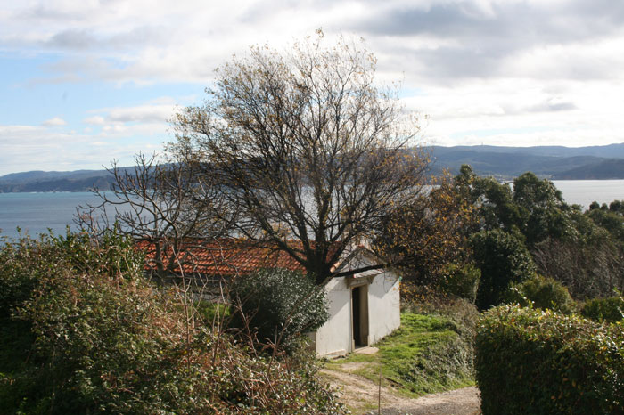
Cariño - Ortegal Cape

Route of medium difficulty, of 2:30h length (return) following a linear route to the north from the Council building (Casa do Concello), taking S. Bartolomé street, O Pósito viewpoint, o Campo street, Cariño cemetery and Punta Gabeira viewpoint, Camiño Vello de S. Xiao path, S. Xiao chapel, S. Xiao fountain, a Malveira viewpoint and finally Ortegal Cape lighthouse.
It is possible to extend the route one hour more from a Malveira viewpoint making a circular route ending at Punta Gabeira viewpoint, through Faroleiro Mountain and a Vacariza village.
As well, it is possible to walk only the section between Punta Gabeira seaview point and S. Xiao chapel (Camiño Vello path) , with low difficulty and a length of 1h (return), best for less experimented walkers.
Connects with route 3 Mirador da Malveira- Vixía Herbeira / A Miranda, from a Malveira viewpoint (access to Ortegal Cape).
- Starting point: Casa do Concello – Council building (Avenida da Paz 2, Cariño), GPS 43.740269, -7.868592.
- Ending point: Ortegal Cape lighthouse, GPS 43.770986, -7.869743.
- Route: linear self-guided .
- Difficulty: medium-low.
- Length: 1h30, go // 2h30, return.
 Cariño Turismo